Cairo NY Roads: 114/114 mi
In summer 2021, I began roadwalking the town of Cairo NY in earnest. I had previously walked all public thru roads in the neighboring towns of Durham and Greenville, both with far fewer roads than Cairo. Even being at college in Florida for most of the year, I made good progress in Cairo, working to get through as many miles of road as I could whenever the weather allowed. Today, I finished that goal.
Polly's Rock Road is, I think, an appropriate final walk in the town. A short backroad in the resort areas south of Round Top, much of the road is closed to vehicle traffic in the winter. It's narrow, quiet, wooded, and far away from the populated areas that dominate much of the town. With all this in mind, I headed up on a cloudy Wednesday afternoon to complete a years-long goal.
 |
| Low clouds obscure the Catskill Escarpment seen along a bend in the road. |
 |
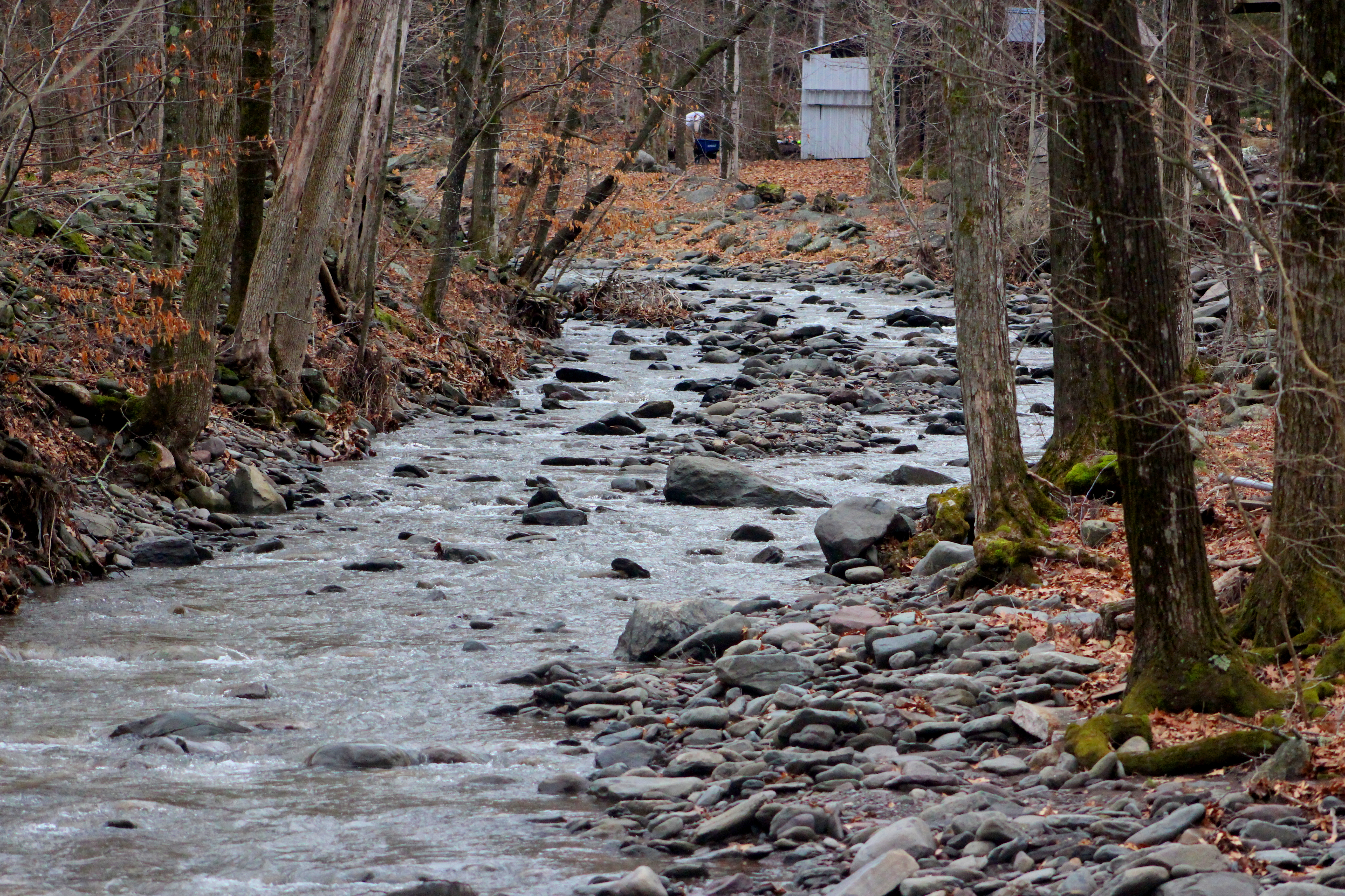
| The Kiskatom Brook, flowing fast with meltwater, runs under the road. |
 |
| A view of the very narrow bridge over the brook. |
 |
| Signage at the turnaround where I parked, where the road becomes seasonal. |
 |
| The area around Polly's Rock Road was once home to extensive hiking trails. The land has since been bought by a local hunting club, and signs along the way warn curious visitors to stay out. |
 |
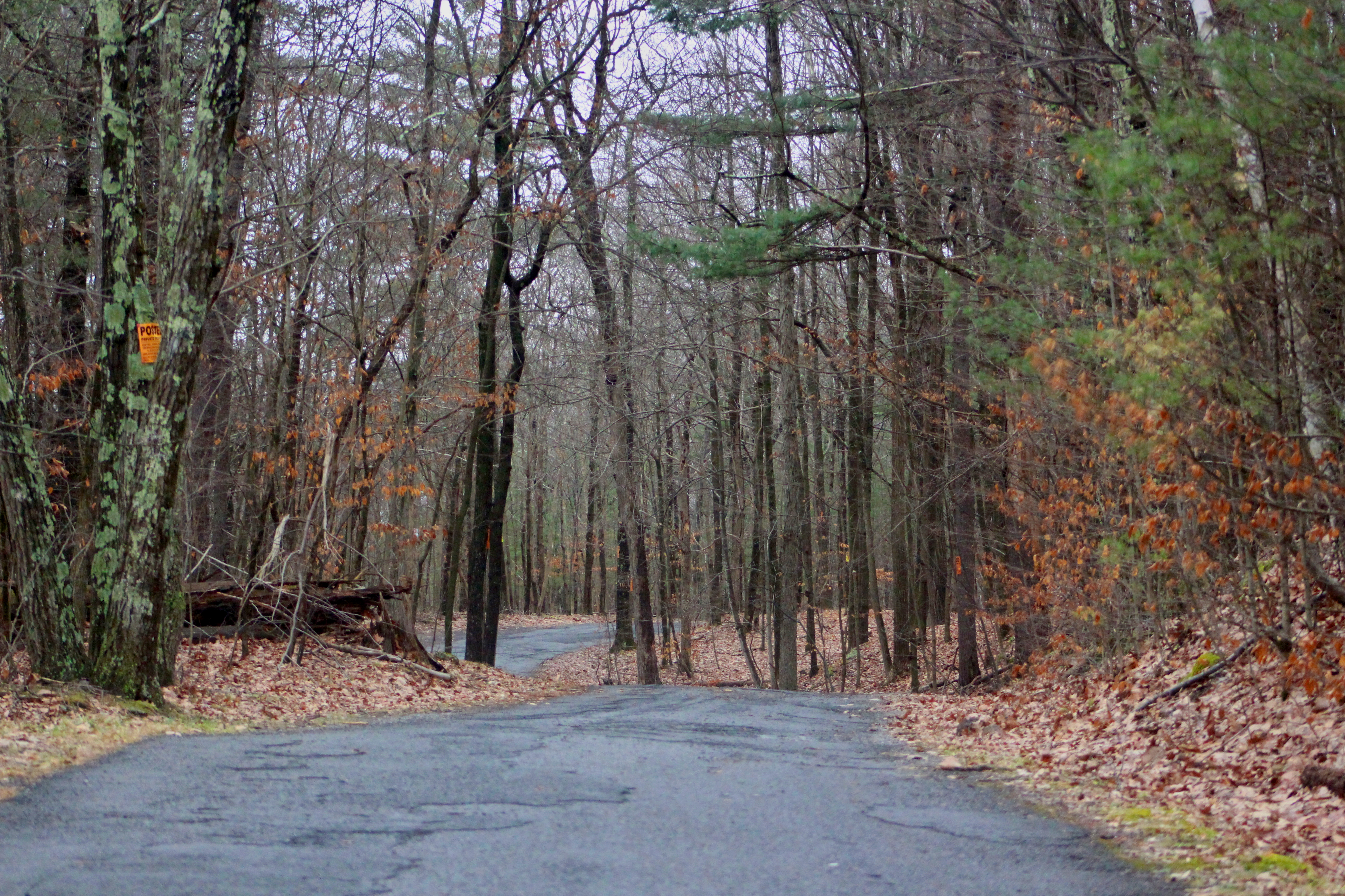
| Looking down the lovely country road towards Cairo's southern border with Catskill. |
 |
| Massive rock outcrops such as these comprise the southern side of the road, perfect for climbing or exploring around. |
The road's namesake, Polly's Rock, was once a popular tourist attraction. The rock has excellent views of nearby Round Top and the more rural forests of southern Cairo, and is painted in all sorts of bright colors. Due to land changes, Polly's Rock, and the trails that lead to it, are no longer accessible to the public. The road is lined with a multitude of posted signs, and if I had violated such warnings, it would be foolish for me to post about it here. |
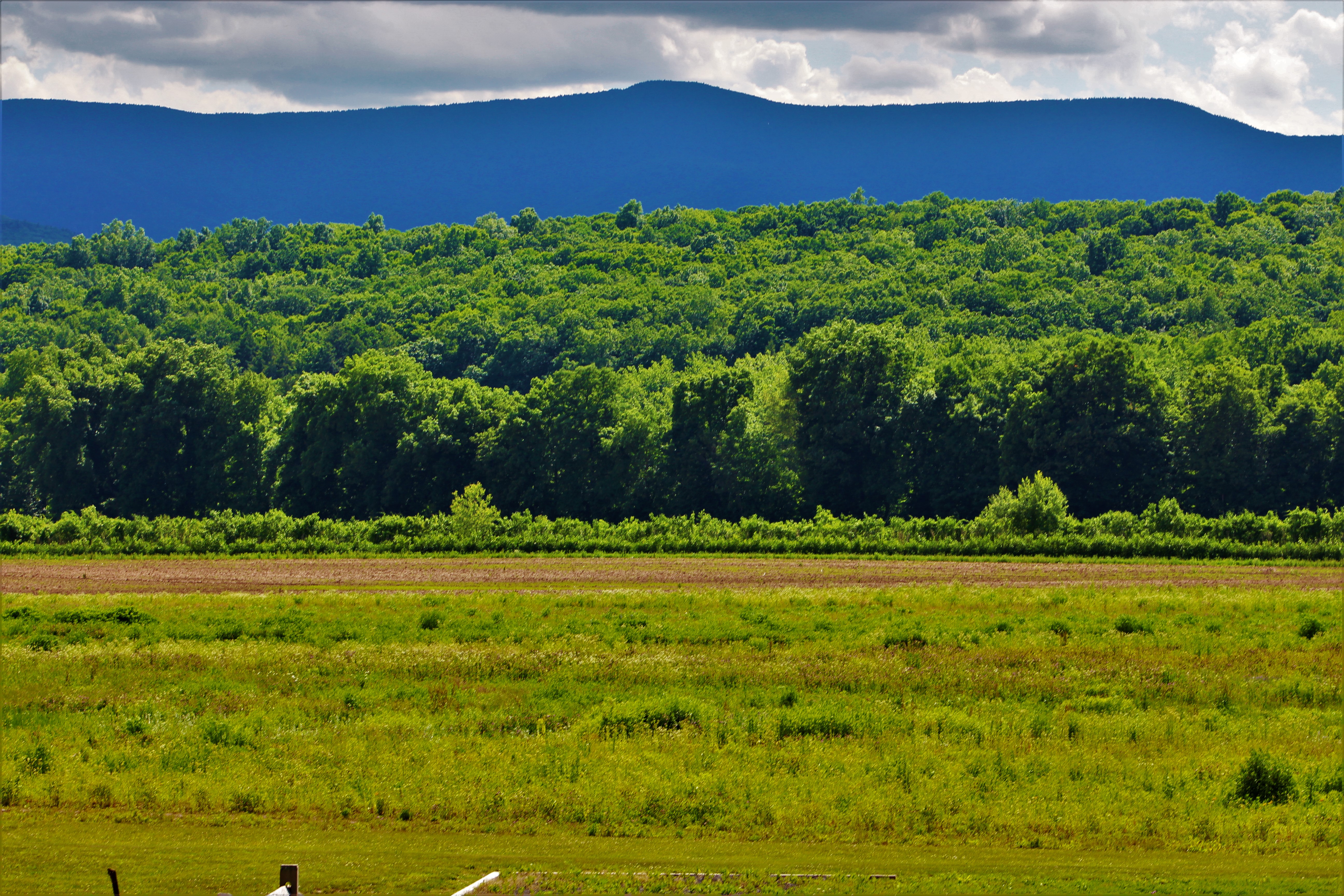
Potic Mountain rises in the hazy distance above the flat, forests plains. For a rather populated town, this is a rare view of Cairo showing total wilderness.
|
 |
| A wide view, looking towards Round Top, hidden in the clouds at left. |
 |
| Bright graffiti marks Polly's Rock, at this point beyond vandalism and into the realm of novelty. |
And that ends my long campaign to roadwalk Cairo. Over 114 miles of public thru roads (and one dead-end highway), come to a close on perhaps the most rural and quiet road in the town. This brings a total of three towns (Durham, Greenville, Cairo) where I've walked every mile of road. My next goal is Windham, a small town nestled high in the mountains to the northwest, although that may not get started until summer.