After a nearly two-week hiatus in walking brought about by moving, I returned to the roads for a momentous occasion: My final walk in the town of Greenville.
In September 2018, I decided to walk every road in my hometown of Durham NY, and that December, I began documenting it. In May 2019, I finished, and subsequently began walking roads in the neighboring town of Greenville. Now, after over two years, I've walked the final stretch of unexplored road in the adjacent town, a segment of Route 32 south of the hamlet of Freehold. This walk extended a bit into the neighboring town of Cairo as well, along a road known as White Farm Loop.
Roads Walked: NY-32, White Farm Loop
 |
| Early June daisies bloomed in large patches along the roadside of Route 32, south of Freehold. |
 |
| Arizona Mountain (L) and Blackhead (R) seen from a large plot of flat fields along Route 32. |
 |
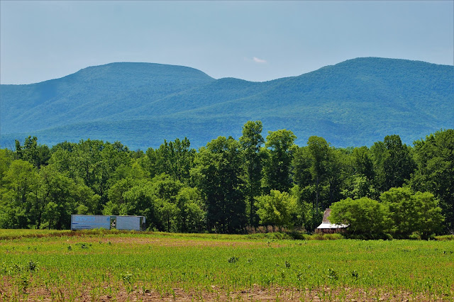
| Blackhead (L) and Acra Point (R) over an old trailer and barn. |
 |
| A close view of Bookah's Bump, a small hill long the Catskill Escarpment between Blackhead and Acra. |
 |
| Windham High Peak, seen in all its glory from under six miles away over rows of young corn. |
 |
| Burnt Knob (L) is the only named knob along a particularly irregular portion of the Escarpment. |
 |
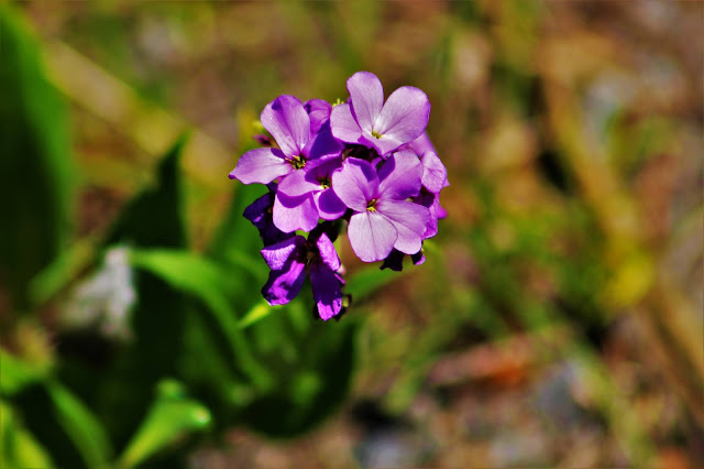
| These purple flowers seen two weeks ago along Feather Bed Lane were still in full bloom here in Freehold. After some research, I think they're some species of primrose. |
 |
| Burnt Knob (L) and the knobby ridge, here seen from a closer vantage point along White Farm Loop in Cairo. |
 |
| A view from White Farm Loop shows layer after layer of unbroken forest in northern Cairo. The next town on my roadwalking list, Cairo is much more forested than Durham or Greenville, with little farmland. |
 |
| A beautiful house sits atop a hill on White Farm Loop, with this lake and hayfield at its foot and a beautiful view of the mountains to the southwest. |
 |
| A lone hay bale sits in the recently mowed field. A local farmer once informed me that it's very difficult for livestock to get a square meal out of a round bale. |
 |
| Black Dome peeks out from above the center of the Escarpment. The more distant peak wasn't visible from Freehold just a few miles to the northwest. |
 |
| View of a landslide on the slopes of Arizona Mountain. Located on the upper Shingle Kill, this landslide happened over a decade ago, and shrubs are just beginning to regrow in the area. |
 |
| Acra Point seems deceptively large as it forms the center of the Escarpment from this vantage point. |
 |
| A close-up of Black Dome peeking over the Escarpment. Although only six miles away as the crow flies, travel from here to the peak's trailhead would take over 22 miles; it's strange to think how close the two locations actually are. |
 |
| Windham's long northern flank stretches beyond a crooked old barn. |
 |
| A nice view of Blackhead standing alone against the hazy sky, cloud shadows dancing along its slopes. |
 |
| A small cemetery hidden among trees on White Farm Loop. Most of the gravestones are just upright, unmarked rocks, something fairly common in many of the older cemeteries in this area. |
 |
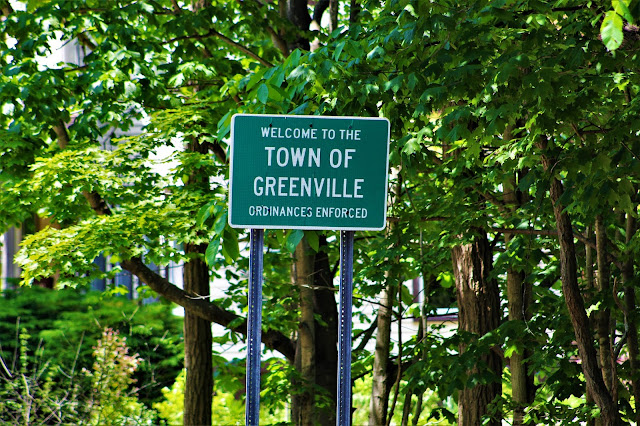
| The welcome sign at the Greenville border. A bittersweet commemoration of the final time I purposefully walk inside the town. |
 |
| Young corn grows in the fields just north of the town line. Intense heat the past few days has left the soil bone dry. |
 |
| An unexpectedly fancy welcome sign outside of central Freehold along Route 32. |


No comments:
Post a Comment