
Pigeon Mountain, elevation 2791'. Fulton County highpoint, NY county highpoints 18/62. Solo ascent via County Line Lake trail and bushwhack. 7.64 mi, 1299' gain, 2h29m RT.
I slept pretty late Friday morning but figured I might still have enough time to bag a county highpoint. My choice was between Fulton and Montgomery, both within a two-hour drive to the northwest, and I settled on Fulton since it had a long and mostly trailed hike on public land and I was really in the mood for some real hiking. If I still had time afterwards I'd go for Montgomery but it didn't seem likely. Earlier plans to hike Roundtop Mountain in nearby Hunter were delayed; this was far more appealing.
I headed north and made it to the trailhead by a little before one in the afternoon. The south trailhead at the end of Pinnacle Road is actually the terminus of two trails, the Chase Lake Trail that heads southeast and the County Line Lake Trail that goes northwest, each ending at their eponymous lakes. The County Line Lake Trail, on its way to the lake (and the Fulton/Hamilton county line), wraps completely around Pigeon Mountain, coming within half a mile and 300' elevation of the summit. My plan was to climb to the closest approach point, then bushwhack to the true top of the county.
The first two miles of the County Line Lake Trail are fairly flat. There is some elevation gain but it's not really noticeable and there's a good deal of loss as well. The trail parallels the Pinnacle Creek for some time, a beautiful stream running through deep hemlock wood that's sometimes broken by wetlands and beaver ponds. It fords a few smaller streams; at one point I had to hike considerably farther upstream to safely cross due to high water conditions. The trail also appears to follow an old road and evidence of long-gone stone structures can be seen through much of the first mile.
 |
| Large boulders form rapids on the Pinnacle Creek. |
At slightly higher elevations the creek expanded into a swamp that was beautiful enough to make me pause. The swamp was filled with tall grasses and ferns growing out of water that was deep and dark and perfectly clear. The trees on its edges were already decked in autumnal colors and the vistas along the trail actually provided views of Pigeon Mountain itself. I stopped for some time here on both ascent and descent.
 |
| Looking northwest over the open swamp towards Pigeon Mountain, the highpoint and the day's goal. |
 |
| In my opinion the prettiest of several swampside vistas. |
Beyond the swamp the trail steepened significantly and it was a real climb for the next mile or so. This trail clearly isn't used very often and in some places it was difficult to follow, resembling a herdpath or informal trail, and on several occasions I had to refer to trail markers to find my way. The trail is very narrow in parts, running along the steep slope of Pigeon Mountain, and soon I found myself at the col between Pigeon and a shorter, unnamed peak to its north. A pink ribbon tied around a tree indicated the spot to begin the bushwhack to the south. Now the hike really began.
 |
| Orange ribbon at the northern bushwhack split-off point at the col. Trip reports as far back at 2010 refer to ribbon on Pigeon Mountain, which I would encounter throughout the hike. |
I soon discovered why most highpointers start bushwhacking in the valley instead of the col on this peak. While there was only a few hundred feet of elevation gain, the bushwhack was nearly half a mile in total, and involved pushing through incredibly dense bushes and the occasional pointy spruce as well. At some point I gave up trying to go around them and just walked through everything, ignoring and scratches to me or my camera. This was one case where bushwhacking literally means "getting whacked by bushes".
There are two summit areas for this peak. The first seems to be the most common and is marked by pink ribbon that's replaced fairly often by an unknown individual(s). Due to the thick brush there's very limited sight distance at the summit and I headed over to a second local maximum that seemed to be similar if not higher in elevation. I stopped here for a break and to declare triumph over Fulton County.
 |
| A view of the second summit, which seemed slightly higher than the marked highpoint. |
|
| Pigeon Mountain, elevation 2791'. Beyond the rocks is a little ledge where I sat to rest and drink some water. |
I didn't stay long at the summit since I still had a deadline to get home for a camping trip planned with family that night. However, on descent I decided to go down the steeper and more direct east face of the mountain, as opposed to the north face I had climbed on ascent. This would make for a quicker return to the trail, avoid the dense brush and trees, and since I was going down the steepness wouldn't be as much of a problem. I passed a number of rockfaces that would have been discouraging on ascent but now were simply fun obstacles.
 |
| Passing by one of numerous ledges east of the summit. |
On my way down I kept running into those pink ribbons tied around trees. Evidently someone has tagged an entire bushwhack path to the summit and it seems fairly well maintained since the ribbons were all new. The peak isn't climbed often enough for a path to be clear and I mostly found my own way down, but for the final few hundred feet of the bushwhack I followed the ribbons to find my way back to the trail.
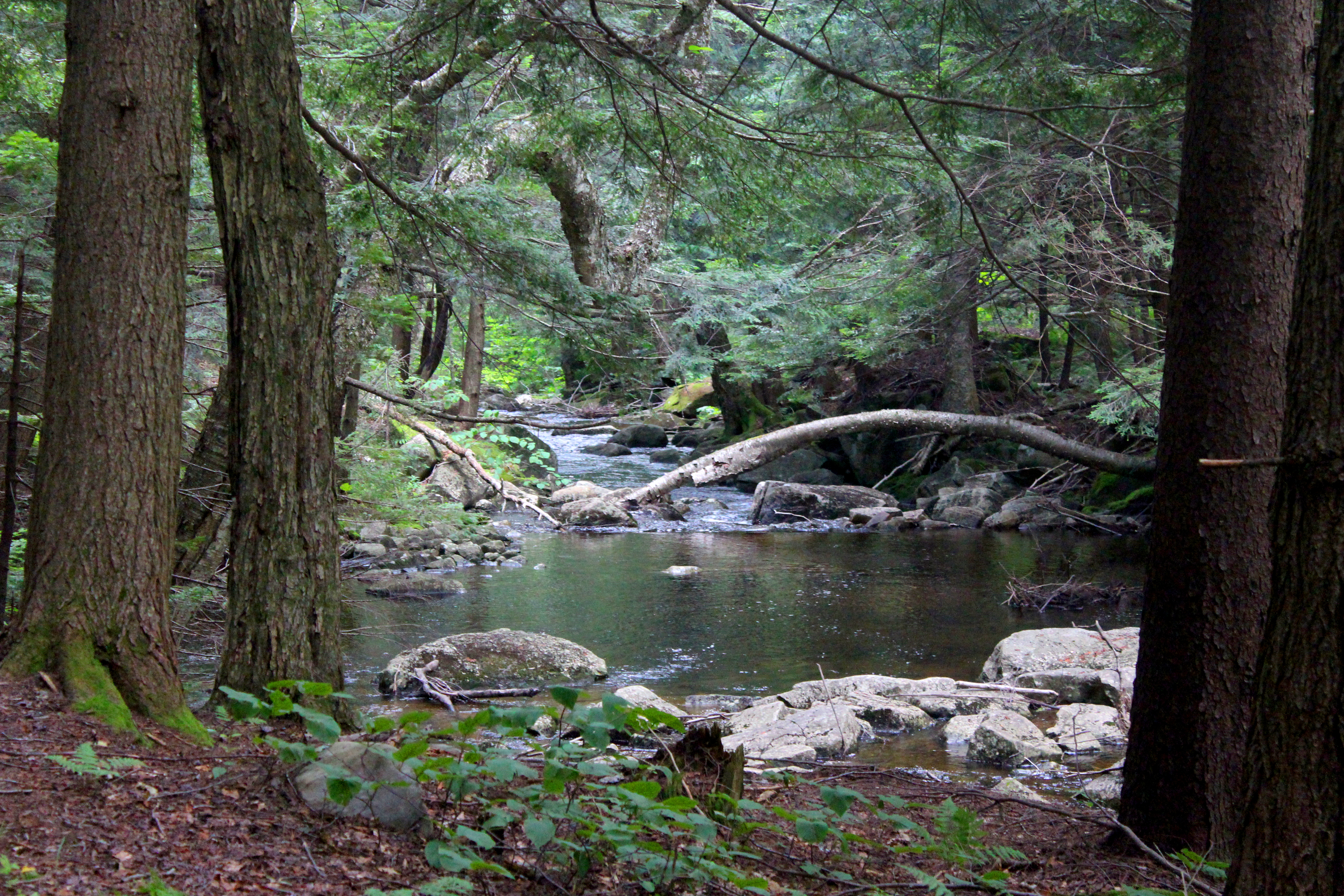 |
| A lovely (and rare) calm pool along the Pinnacle Creek. |
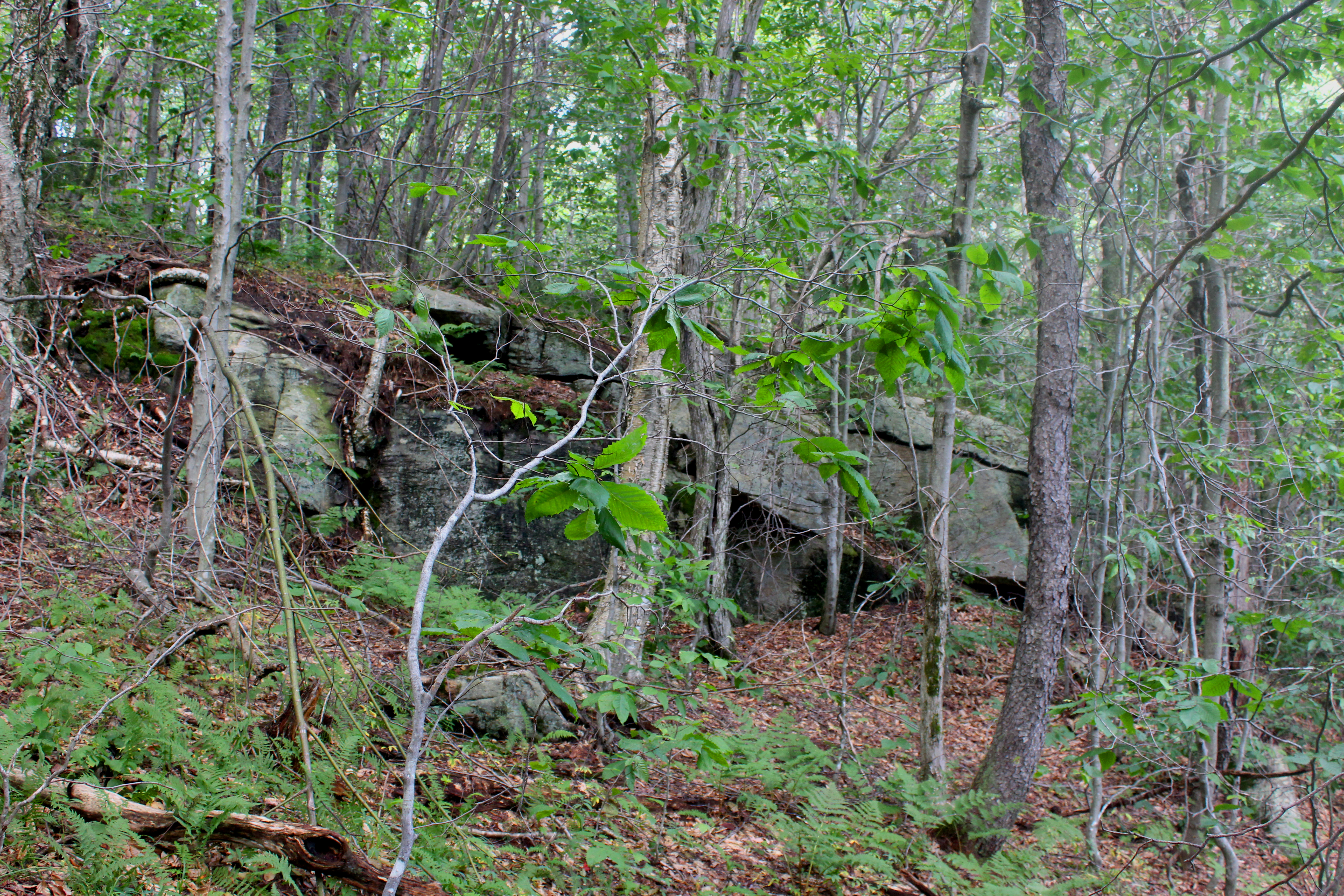
 |
| Hemlock forest lines the trail near the trailhead. Tsuga canadensis has long been my favorite tree and hiking through forests like this is always very calming. |
No comments:
Post a Comment