The majority of my roadwalking ventures are very intentional, mapped-out and measured before I ever leave the house. This walk was a relative oddity; my car was at the mechanic's and I needed to get somewhere. The roughly five-mile walk brought me through Oak Hill, which I walked in Spring 2019, but also through a portion of Rensselaerville, near the hamlet of Cooksburg, where I hadn't yet walked, so I brought my camera with me.
 |
A view downstream on the Catskill Creek from a bridge in central Cooksburg.
|
 |
White flowers of the invasive Dame's Rocket (Hesperis matronalis) plant. The flower grows so well in the northeast that it's been banned in Massachusetts.
|
 |
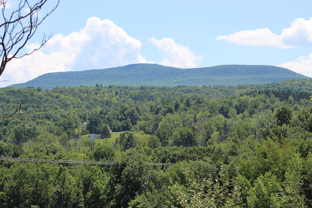
Mount Hayden seen over some forests along Route 81.
|
 |
A view from near the county line shows Windham High Peak (R) towering over its surrounding mountains.
|
 |
Windham takes on a less sharp, more bulky look from the northeast.
|
 |
| A view of Mount Zoar. The right side of its plateau-like summit is the highest point, which I climbed in May. |
 |
Mount Pisgah presides over the valley, from this angle seeming very detached from the other northwestern Catskills.
|
 |
| Old farm buildings fill the overgrown fields just over the border into Durham. |
 |
Rocks and ponds in some distant fields near the highway.
|
 |
The back ends of houses a few miles away on Route 145, along with a recently-built quarry.
|
 |
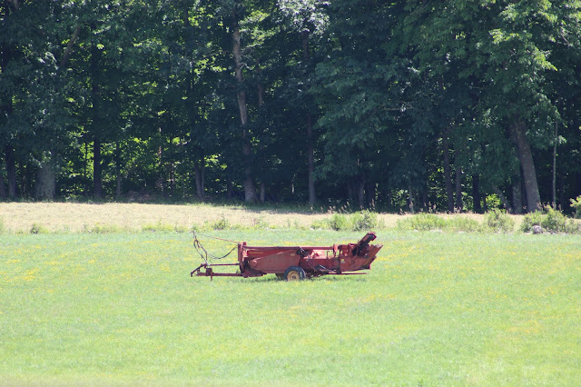
Left for lunch, a piece of machinery sits idle in a half-hayed field.
|
 |
| Little yellow wildflowers (probably birdsfoot trefoil) cover a field beneath Acra Point and Burnt Knob. |
 |
| A view of mounts Hayden (L) and Nebo (R), along with some fields on their lower slopes. |
 |
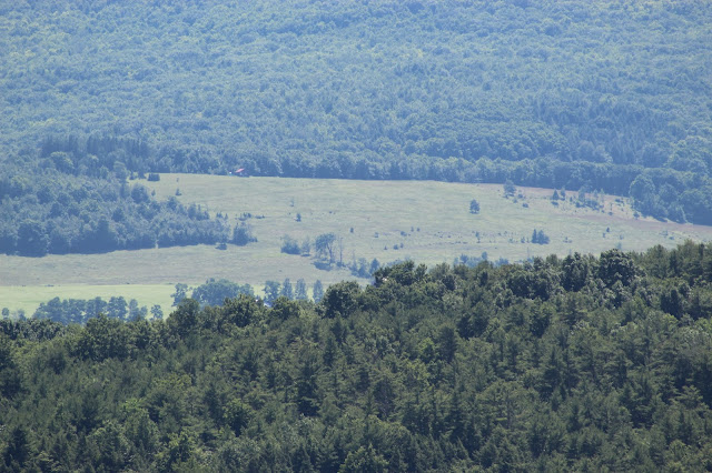
| Four miles distant, these fields on Sutton Road aren't quite ready for haying yet due to their altitude. |
 |
| Vaguely closer fields on Allen Teator Road stand against some rising clouds to the west. |
 |
Windham's silhouette forms an impressive backdrop to this house along Route 81 in Durham.
|


No comments:
Post a Comment