The town of Cairo NY has a number of roads with full names (first, last, middle initial) as their road names, something fairly unusual. Some years ago I discovered that these roads are names after the five men from Cairo who were killed in action in World War One. Frank Hitchcock is one of those roads, running through a hamlet called Woodstock (not to be confused with the nearby town of the same name) and connecting routes 23, 32, and 145. This walk took me through Woodstock up to Acra and back down on a hot afternoon late in June.
Roads Walked: NY-23, NY-32, CR-20, Frank Hitchcock Road
 |
| A deer looks both ways before choosing not to cross Frank Hitchcock Road. |
 |
| Small waterfalls flow in the Catskill Creek as it crosses beneath Route 32 through a burst dam. |
 |
| A view of the old dam, its rusted steel rebar bent above the now quiescent creek. |
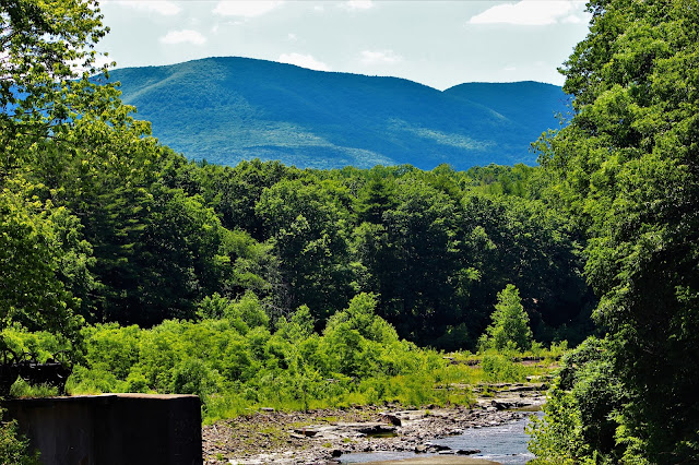 |
| The space above the dam provides an excellent view of the nearby Catskill Escarpment, here centered on Acra Point. |
 |
| More miniature cascades beyond the decaying structure of the dam. |
 |
| Blackhead (L) and Black Dome (R) rise above forests west of Route 32. |
 |
From this westerly angle, Windham High Peak takes on a very pointy, 'mountain-like' appearance.
|
 |
| Black Dome (L) rises above the nearer ridge of the Catskill Escarpment. |
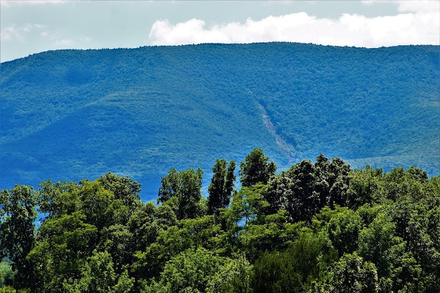 |
| A common but always fascinating view is the landslide along the Shingle Kill on the slopes of Arizona Mountain. I've been watching the landslide area regrow and recover from a distance for over ten years. |
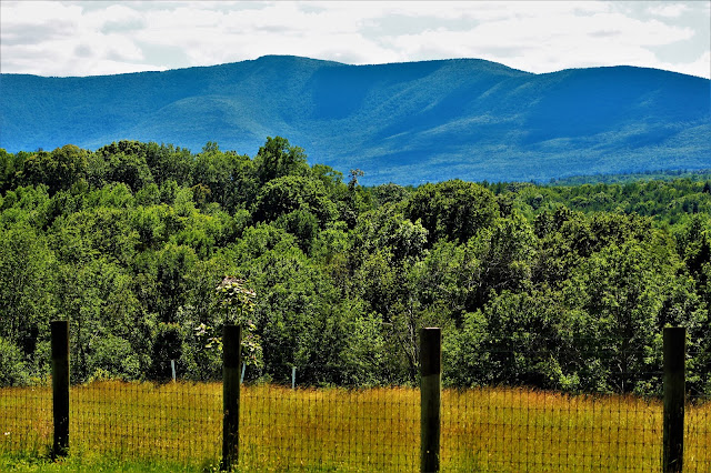 |
| Stoppel Point's saddle-like shape rises over fenced-in hayfields north of the hamlet of Woodstock. |
 |
| More waterfalls downstream of the dam. Officially owned by a Spanish Pentecostal church, this area is very popular for illegal swimming. |
 |
| Naturalized chicory (Cichorium intybus) is very common along the roadsides, blooming from late June through July. |
 |
| Route 23 through most of Cairo is a four-lane divided highway, a type of road I had never walked before. This view of the mountains, including Windham (R), was taken from just past the part where the divided highway begins. |
 |
| The very tip of Black Dome is just barely visible above the limb of the nearer Escarpment. |
 |
| Looking down Route 23 as it heads up the mountain reveals a house under construction somewhere in the vicinity of Joseph D. Kollar Road. |
 |
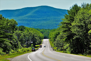
| Acra Point dominates the view up Route 23, an incredible welcome to the thousands who take this road into the resort areas of Windham every year. |
 |
| Although Acra Point is one of the smaller peaks of the Escarpment, its proximity from this angle makes it appear to be the ridge's centerpiece. |
 |
| One of many buildings in an abandoned resort in Acra. Once a popular resort town, the small hamlet has dwindled into obscurity in recent decades. |
 |
| One last view of Acra Point from a gas station at an intersection along Route 23, before I headed off onto backroads. |
 |
| Birds fly above Blackhead Mountain as seen from Lynch's Pot o' Gold, one of the few non-defunct campgrounds in Acra and home to incredible views. |
 |
| Windham High Peak rises pointily above buildings near central Acra. |
 |
| The transmitter for a radio station in Acra rises above the trees, but not quite above the ridge beyond. |
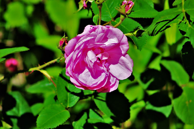 |
| A bright rose blooms along the side of somebody's yard. |




No comments:
Post a Comment