On a humid Friday morning in mid-June, I headed out to walk a loop in northern Greenville. After a series of walks in the surrounding area, this was my first walk in Greenville in well over a month. The six-mile loop took me down several roads and highways just east of downtown Greenville, an fairly populated area with little elevation gain. As a result, I took less photos than usual, as there were less views than in the more rural parts of town.
Roads Walked: NY-81, CR-26, Turon Road, Highland Road, Hill Street, CR-26A
 |
Trees dot a swampy field to the north of Route 26.
|
 |
In late spring, the roadside is lined with countless wildflowers, including this clover.
|
 |
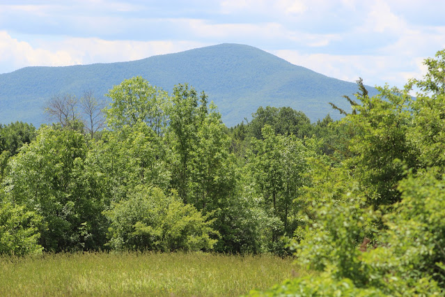
Windham High Peak rises above power lines along Turon Road.
|
 |
| This leaning telephone pole holds up lines that deviate from the roadside and cut through hayfields. |
 |
An immature northern flicker (Colaptes auratus) stands atop a well cap, preparing to take flight.
|
 |
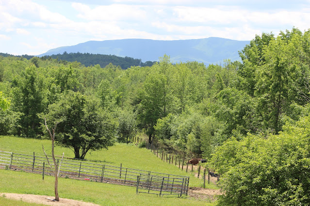
The fourteen mile distant Steenburgh Mountain rises above vaguely closer farms on Route 20 and forest in the foreground.
|
 |
From this area of Greenville, Windham's summit is as far west as it is south.
|
 |
Black Dome and Thomas Cole Mountains rise above the nearer Catskill Escarpment and a flag in a mildly patriotic scene.
|
 |
Birdsfoot trefoil (Lotus corniculatus) is a flower species introduced to the Americas to control soil erosion. However, its ease of growth leads to its common dominance of a given environment.
|
 |
Another introduced flower, the common daisy (Bellis perennis). Large patches of daisies were blooming all along the roads.
|
 |
A large pond along CR-26, lined with shrubs and pine trees.
|
 |
A young forest of white pine (Pinus strobus) stands tall on the far side of the pond.
|
 |
Stoppel Point rises above fields along Route 81. This picture was taken on level ground; the field below is on a steep incline.
|
 |
A narrow field of view makes the distant Mount Zoar appear enormous, and brings into focus an empty field on a nearer hill.
|
 |
This strange station on Hill Street, one of Greenville's most residential areas, probably pumps municipal water from the nearby Carelas Lake.
|
 |
The Greenville Highway Department building is curiously located on Route 26A, a small backroad. Although most rural highway departments are on highways, this one is still fairly centrally located in the town.
|
 |
This historical farm on Route 26 has been in continuous use for over a century.
|


No comments:
Post a Comment