As part of a new initiative, I took time on a warm Thursday afternoon some weeks ago to walk a 2.5-mile section of the NY Route 145 which runs through Preston Hollow. This small census-designated place is one of the most isolated places in Albany County, hidden in the upper Catskill Valley southwest of (though still within the town limits of) Rensselaerville. Walled by steep hills on three sides, the community lacks so much as a gas station, but made for a very interesting walk.
 |
| This picture of bare cottonwood trees was actually taken in Hudson NY, but it was in the same folder as my Preston Hollow pictures. |
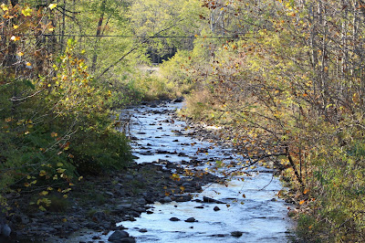 |
| View upstream on the Catskill Creek, which flows through the village, from a bridge on Route 145. |
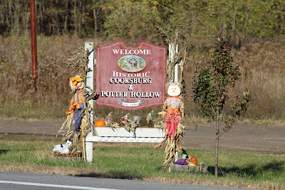 |
| Welcome sign at Cooksburg, a historical settlement at the intersections of Route 145 and 81; today it is home to a lumberyard and a mechanic's shop and not much else. |
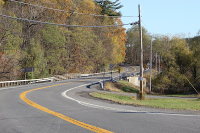 |
| View east down NY-81 from its western terminus in Cooksburg. |
 |
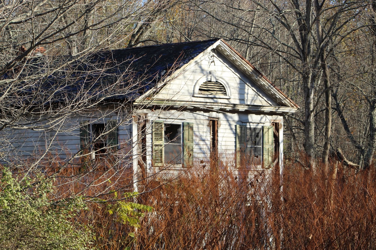
| This abandoned creekside house, like many of the buildings in Cooksburg, was mostly destroyed by floodwaters during Hurricane Irene in 2011. |
 |
| Looking upstream on the Catskill again. Route 145 hugs the creek for well over ten miles from Durham through north Broome. |
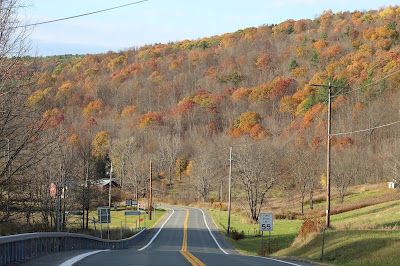 |
| Post-peak foliage looking north down the highway from Preston Hollow. |
 |
| A barn at the north end of the community, enveloped by dead goldenrod. |
 |
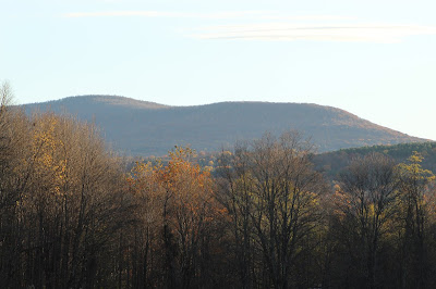
| Northward view of the slopes of Cheese Hill, seen from the Elsbree Park at the edge of town. |
 |
| A mostly abandoned farm sits in the shadow of the steep walls of the Catskill Valley. |
 |
| Most of Preston Hollow is a dead zone for mobile phones, so this pay phone in the town park remains both operational and useful. |
 |
| One of the more gruesome historical markers I've come across on my travels, this original whipping post was undoubtedly the site of much torment in the hamlet's early years. |
 |
| Preston Hollow's isolation makes it very difficult to keep businesses operational in the community, although many have tried. |
 |
| Mount Ginseng looms over buildings in the center of town in this south-looking shot down the highway. |
 |
| View of Mount Nebo from the highway in the hamlet's south, near its post office. |
 |
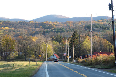
| Mounts Hayden and Nebo rise spectacularly to the south along the road from Preston Hollow to Cooksburg. |
 |
| Ginseng, lit by the sunset, watches over 'downtown' Cooksburg. |
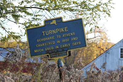 |
| Historical marker at the junction of NY-81 and NY-145. Much of Greene County's Routes 28 and 67 still bear the name 'Schoharie Turnpike'. |


No comments:
Post a Comment