01-07-2019 - Morrison Road


On Monday, I filled in a major gap in my map of Durham NY roads: Morrison Road. I had walked part of the road back in early October, and had since walked all the roads around it, leaving this mile-long stretch of yet-unseen backroad in an otherwise completed section of town. What prevented me from walking it for so long is the parking situation; the only area where parking is feasible on the side of the road is very muddy, and due to the road's elevation often covered in snow. Monday it was warm enough (mid-30s at least, after a warm stretch) and dry enough (in this spot) for me to park there for twenty minutes or so.

The first section of Morrison Road was paved, running from NY-23 through the center of South Durham before turning north towards the valley. This section was characterized by old buildings, often close together, and open fields.

A local 'weather' station. Evidently a thief is on the loose.
Open field flanked by mixed forest.
As the road descended, it turned to a more rough dirt/clay road, although fairly firm at the time as the forest's shade helped it stay frozen. This led all the way down to the road's junction with Old Tyler Road, where I had turned off during my walk in October.

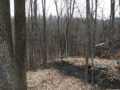
Old walled cemetery, not near any buildings. Note the tombstones outside of the wall, which were more numerous than those within.
 
View on Morrison heading northward into the valley.
I turned around at the junction and headed back up towards the car, finding excellent views of the Catskill Escarpment even through the forest.

View of Acra Point through the forested road.
Better views of the Escarpment were afforded by the more open areas farther south, along with some old buildings.

An unnamed stream, black as coal, flows towards its eventual confluence with the Bowery Creek.
 
This old farm building was built directly over the above stream, atop a perilous rock bridge.
 
View of Acra Point from the paved section of the road.
 
A lone telephone pole in the evening field.
 
The sign says 'Private Road, No Trespassing'. I'm not sure what road it's talking about.
Heading back into town I found some old foundations and ruins. Concrete and steel wire guard rail along the southernmost portions of Morrison Road look like they date to the 1940s, perhaps even earlier.
 
This structure seemed to form an old foundation, perhaps of a mill on the South Durham Creek. I couldn't find any information about them.
 
Windham High Peak hangs over the old guard rail outside of South Durham.
 
Morrison's southern terminus at NY-23. Note Windham and its north slope peering over the trees.
There are many more pictures to come this week, as weather has allowed much roadwalking. I hope to be able to get rid of the two-day delay in posts soon.

No comments:

Post a Comment