Bailey Benchmark, elevation 986'. Westchester County highpoint. Solo winter ascent via Blue Trail. 1.90 mi, 292' gain, 35m RT. New York county highpoints 21/62.
I was about to return to college for my final semester, and despite my attempts otherwise, my focus on finishing the Albany County town highpoints had prevented me from working on county highpoints all interterm. I had planned to visit my grandparents in New Jersey one last time before I left, and I thought it might make sense to add in one of the county highpoints in the region I hadn't done yet. When my mother decided to join me for the trip, I settled on Bailey Benchmark.
The highest point in the hilly and heavily populated Westchester County, Bailey Benchmark is located in the Mountain Lakes Park, just a few hundred feet from the Connecticut state line. The hike is short, just under two miles round-trip, and follows marked trails on straightforward terrain. This was key in its selection, as it meant it could be done on a chilly day without too much preparation, and that I could climb and descend the peak before my mother got bored of waiting in the car.
We started later than expected (as always), and took a fairly leisurely trip downstate with no deadlines other than sunset. Much of Westchester County consists of upper-class neighborhoods, and it has the highest median income of any of New York's counties. The great mansions and manicured landscapes were nice to look at, and I was quite enjoying being a passenger for the first time in ages.
We parked at the end of Mountain Lakes Road in the park, near a gate blocking the road at Hemlock Lake. I hopped out of the car and quickly rushed up the mountain in the cold, clear afternoon. The park is home to a number of interesting rock formations typical of the Taconics, but unfortunately, the trail I took doesn't really pass by many of these.
 |
| Hiking along the lower parts of the trail. |
 |
| The only really rocky portion of the hike in a very rocky park. |
The trails were empty but not quite deserted, and I passed a few people out running or walking their dogs. The hike spends much of its time heading east from the trailhead through open deciduous forest (bare at this time of year), steadily climbing the hillside and gaining elevation. Nearer to the summit, it runs into what looks like a road, although I believe that it's closed to driving. Here I headed north, then took a sharp turn to the northwest following the Bailey Mountain cutoff. After a quick climb up a small hill, I found myself at the summit of Westchester County.
 |
| A wide view of the summit area. The highpoint is marked by the rock cairn left of center. |
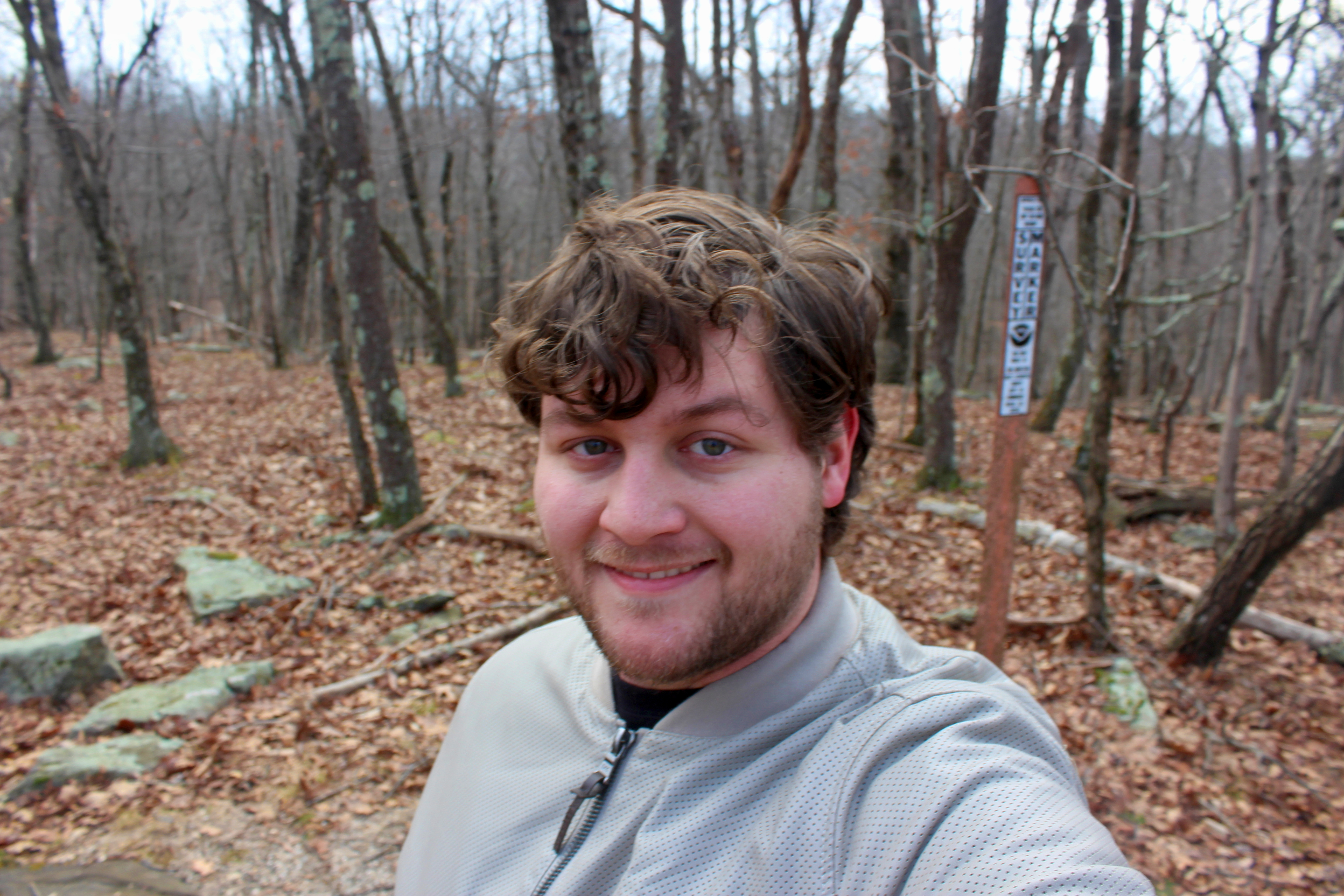
I stuck around for just a few minutes, long enough to take the requisite summit pictures and thoroughly investigate the area. The benchmark itself seems to be buried in a sizable rock cairn that marks the summit, and the top of the witness post extends out of the cairn.
I took a somewhat more leisurely hike back, still trying to move fairly quickly as my mother was still waiting in the car. The road portion of the hike winds through some interesting (albeit hard to photograph) swamps. I also took a side-trip on descent to the shores to Hemlock Lake. I felt it wasn't quite appropriate to leave the Mountain Lakes Park without seeing at least one lake.
 |
| A view of Hemlock Lake from its eastern shore. |
 |
| Old rock walls cut the still-orange forest floor all the way to the frozen lake. |
Soon I was back at the car, and we continued our journey to visit family one final time before I returned to college.
No comments:
Post a Comment