Woodall Mountain, elevation 806'. Highest point in Mississippi. U.S. state highpoints 35/50 for me, 2/50 for Audrey.At this point, this was pretty much standard operating procedure. The semester ends and I try to find a state highpoint between college in Florida and home in New York. I had done this at the beginnings and ends of semesters for most of my college career, but this time, two things were different. The first was that there was only one eastern highpoint left, severely limiting my options for travel. The second was that I wasn't travelling alone.
Audrey and I left campus early in the morning, and we made a few stops on the way up. There are no major highways connecting Pensacola with Woodall Mountain, given that the latter is in a pretty rural area, so we took backroads north to get a really good look of the state, stopping at a few locations on the way there. I considered this a sort of short-version tour of Mississippi.
Our first stop was Dunn's Falls, an old mill home to the highest waterfall in the state (albeit an artificial one). This waterfall along the Chunky River is located in a privately-run park, which features several overlooks, some woods hiking trails, a trail down to the river, and even allows you to go through the old mill itself, filled with rusted equipment. The waterfall was surprisingly significant for a state like Mississippi, not really known for its towering waterfalls and canyons. We hiked a bit through the woods trails to stretch our legs before returning to the road.
 |
| A view from the base of the 65' falls with the old mill wheel. |
 |
| Looking down the Chunky River downstream from the falls. |
From here, we continued driving northward and drove the Natchez Trace Parkway. My grandparents had driven this some time ago, and it's often come up in discussions of my travels since, so it was nice to finally be able to experience it. We stopped at the Pharr Mounds along the parkway, a set of thousand-year-old Mississippian burial mounds surrounded by hayfield. We left the car to stretch again and wandered around for awhile, staying off the mounds themselves out of respect. |
| A wide shot of haybales surrounding two of the mounds. |
 |
| A closer view of one of the larger mounds. |
Finally, we reached our actual destination: Woodall Mountain. The access road to the mountain is a winding, orange dirt/gravel road that seemed surprisingly unstable at times and was very steep. At the summit, the road ends in a circle with the summit marker in the center. We parked here and began exploring the highpoint, which we had all to ourselves. |
| A plaque in the summit boulder describes the area's history as a Civil War battlefield. |
 |
| USGS survey marker at the highest point. |
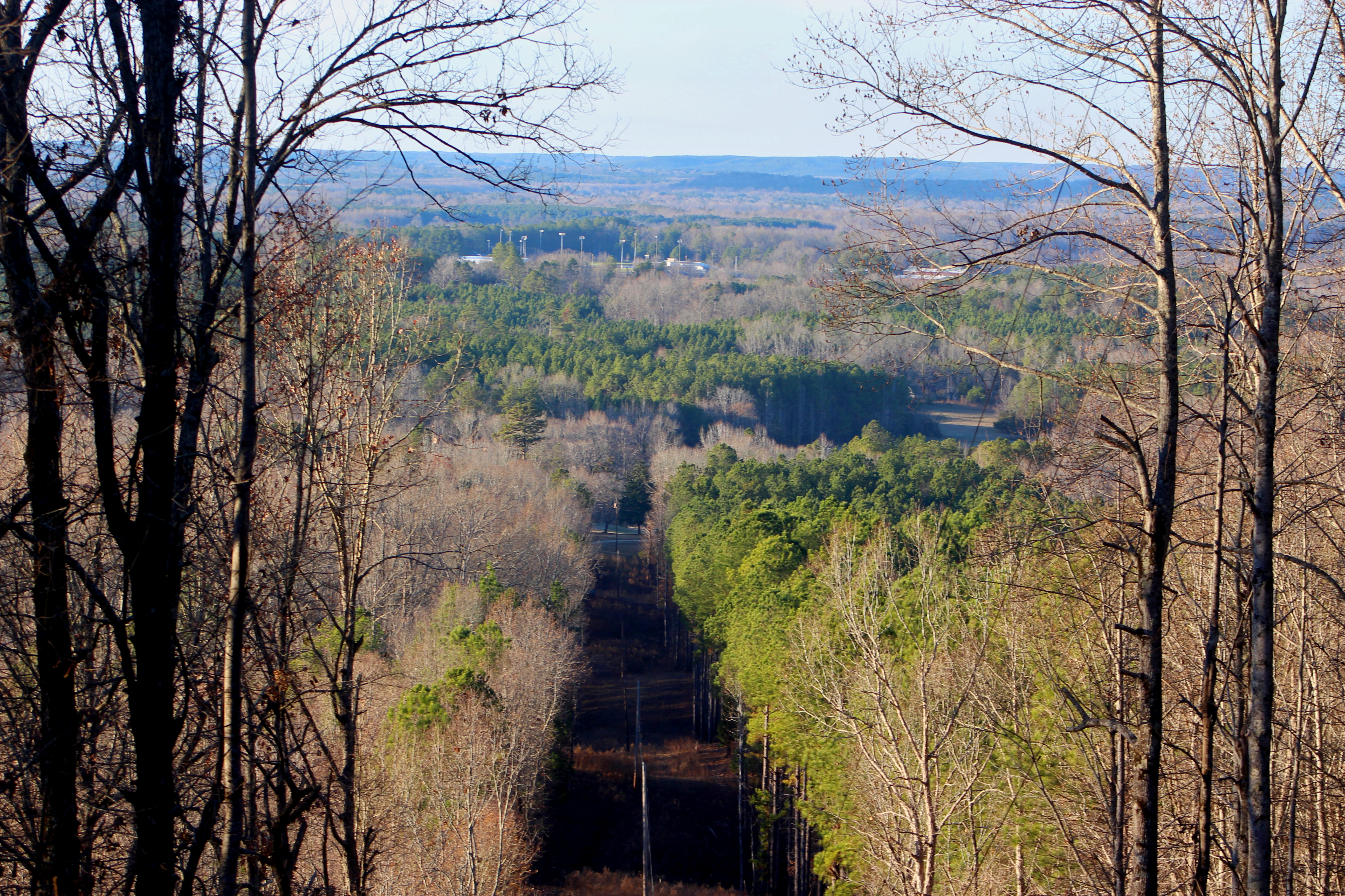
For such an insignificant highpoint, Woodall Mountain had a lot going on. It was the site of Union artillery during the Battle of Iuka in the Civil War, which means it hosts an extensive historical marker. In addition to the usual highpoint paraphernalia (including a bench that had lost its legs), there are a number of communications towers and associated buildings and generators. Electrical lines running to the west allow for a nice view from the top as well. |
| Looking up to one of the communications towers on the pine-covered summit. |
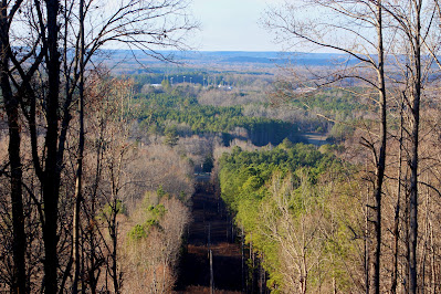 |
| The view east along the power lines. |
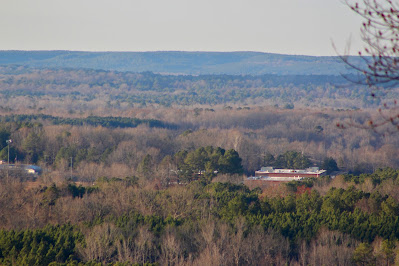 |
| Close-up on forests and a school to the northeast. |
We wandered around on the summit for awhile, enjoying the highest point of another state, until another car arrived, at which point we left. It was getting late, and we discovered that the Natchez Trace is significantly less enjoyable at night. We spent the next day in Nashville visiting the Musician's Hall of Fame and sightseeing until a cold rain dampened our spirits. By evening we were back in Indiana and, a few days later, I was back home in New York for the break.


No comments:
Post a Comment