I go to college in Florida, and given my recent interest in highpointing, it only makes sense for me to stop on my way down to hit the many state high points located in the Appalachians. As a sort of 'farewell' to hiking and mountains for the semester, I took a little side-trip on my way down this August to climb Clingmans Dome, the highest point in the state of Tennessee.
At 6643' in elevation, the peak is the third-highest point east of the Mississippi and the highest mountain I have climbed to date. After spending a night in nearby Gatlinburg, I set out at sunrise on an eight-mile round-trip hike along the Appalachian Trail that also summitted nearby Mount Collins and Mount Love before finally arriving at my thirteenth state high point.
 |
| Several overlooks line US-441 as it climbs the mountains in the Great Smoky Mountains National Park. It was still dawn, so many of my pictures didn't come out well; this view looks northwest along an unnamed valley. |
 |
| A few low clouds hang around Mount Mingus, still in the morning shadow of the higher peaks to the east. |
 |
| I began my hike at the Fork Ridge trailhead, and soon arrived at the summit of Mount Collins. This east-facing view shows the landscape totally obscured by clouds at sunrise, save for the forested limb of Fork Ridge. |
 |
| Hobblebush leaves (Viburnum lantanoides) were already beginning to turn for the approaching winter. The mountain's high altitude counteracts any benefits its southerly latitude provides. |
 |
| A small overlook marks the summit of Mount Love, a zero-prominence peak just below the final summit approach to Clingman. By now, the early sun had warmed the earth enough that clouds had begun to fill the valleys. |
 |
| Looking north from the actual summit, atop a elevated platform that reaches above the treetops. Sugarland Mountain juts out across the lowlands to the northwest, where distant Gatlinburg is slowly enveloped by fog. |
 |
| Looking a bit less north and a bit more west, morning haze obscures details in the distant valley. The jagged ridge to the upper left is called Greentop, a plateau at the outer edges of the Smokies. |
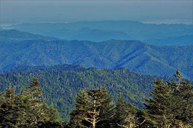 |
| Looking further west, my eyes were met with layer after layer of green mountain, every detail and curve standing out in the morning sun. The ridge at center is appropriately named Bent Arm. |
 |
| Fog fills the valley up to a strict cutoff point in this view looking towards Blount County. |
 |
| Clouds dot Thunderhead Mountain, some twelve miles to the west, as the highest ridgeline in the state runs beneath. |
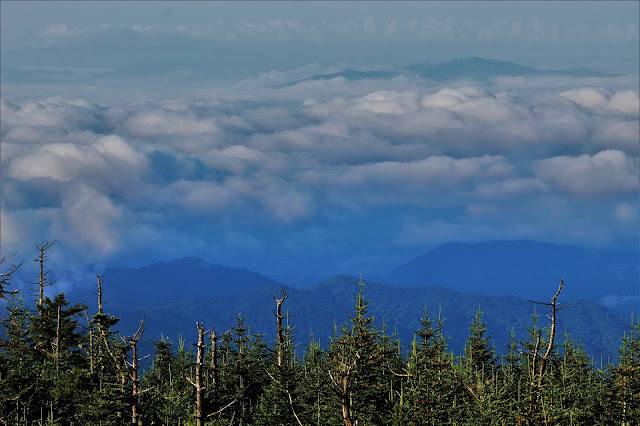 |
| Quite unlike the remarkably clear conditions northwest of the mountains, the lowlands to the southeast were entirely obscured by dense clouds. The cloud poking above the clouds here might be Oak Knob, but it's difficult to tell due to a lack of landmarks and my unfamiliarity with the area. |
 |
| This was the first hike that took me above a serious cloud deck, and it was a remarkable experience. Lingering dawn colors still add subtle hues of pink to some of these clouds. |
 |
| Farther to the southeast, the clouds were more broken, with lines of haze, clouds, and fog rising between the endless layers of mountains. |
 |
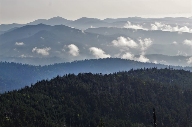
| Scenes like this made me understand how the Smoky Mountains got their name. The peak in the foreground is Nettle Creek Bald. |
 |
| Looking northeast over the ridge I had just hiked. Mount Love is in the foreground at bottom; Guyot and Chapman are the more distant peaks at upper left. Note how the northwest (L) has far fewer clouds than the southeast (R), where the rising sun turns dew into fog. |
 |
| Mount Collins, the first peak in this hike, is at center (although I didn't know that when I took the picture). The line of pale green trees running below the ridge is roughly the path of the access road that leads to Clingman's summit. |
 |
| A fairly distant view of Le Conte, one of the Smokies' most striking peaks. Better views from nearer overlooks looked stunning but photographed poorly in the low light. |
 |
| Another view out to the north, roughly the same as the first picture from the summit. Note how clouds have already advanced even in the few minutes between shots. |
 |
| The city of Gatlinburg, ten miles to the north. Mountains at a similar distance seemed larger-than-life, while the city seemed so far away and infinitesimal, a rather profound perspective to observe first-hand. |
 |
| A closer view northeast towards Guyon (L) and Chapman (R) between floating clouds. |
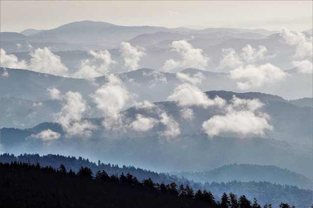 |
| Clouds, haze, and endless mountain ridges made for a phenomenal send-off on my last serious hike of the summer. Big Cataloochee is the rounded peak at left, twenty miles to the east. |
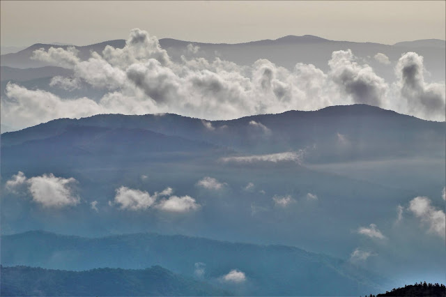 |
| A row of clouds rose gradually from behind Nettle Creek Bald as I enjoyed the summit view, gradually obscuring the mountains beyond it. |
 |
| These pictures seem redundant, but the sheer beauty of watching the clouds rise with the sun through the mountains was too phenomenal to not share as much of it as I can. |
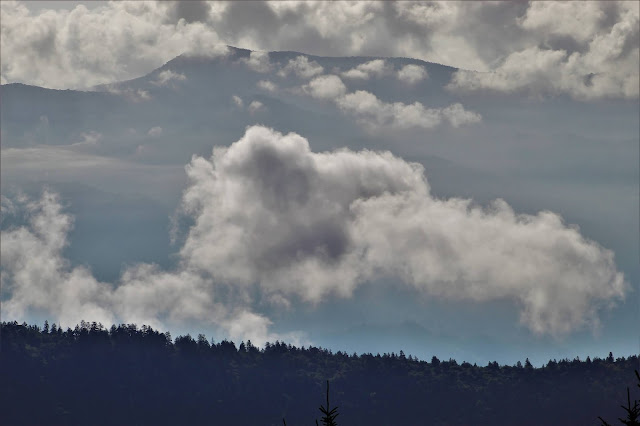 |
| I've had a hard time identifying exactly which mountain is partially obscured by clouds and haze here, likely something to the southeast of the summit. |
 |
| The clouds continued their rise, eventually climbing above the tops of the shorter surrounding mountains, totally blocking them from view. |
 |
| In some directions it was difficult to distinguish cloud from mountain. |
 |
| As beautiful as the clouds and fog were, I was a little disappointed that so much of the view was obscured. I can't even figure out what mountains many of these are due to the weather conditions. |
 |
| Zooming on more distant peaks makes the haze really stand out, darkening the image. |
 |
| Another, closer view of Oak Knob standing firm above the dawn-colored clouds. |
 |
| Bent Arm was one of the most visible features to the northwest, probably because of its proximity and clarity. |
 |
| Another view of the valley filled with clouds, the tops of the foothills barely peering above them. |
 |
| I feel bad that my peak identifying skills continue to fail me; I can't say what mountains seem to rise above Clingman's limb to the southwest here. The cloudy conditions simply obscure too much of the view for me to find anything. |
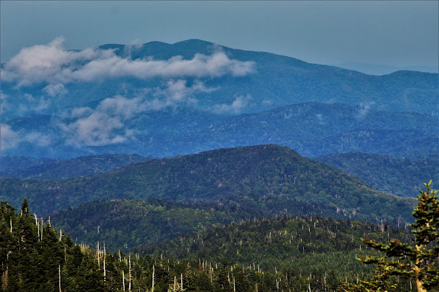 |
| For some reason, the clearest conditions - and cleanest pictures - in terms of detail and clarity seem to be in the early morning. The color variations in the forest here are more obvious than I would have expected. |
 |
| By the time I left the summit's observation deck, the cloud deck had risen and expanded, consuming almost all the hills below. Here the cloudtops glow with the final colors of late sunrise. |
 |
| Leaves of a mountain ash (Sorbus americana) sit in the sunlight along the trail on descent. The mountain ash, while common farther north, is only found this far south at high elevations. |
 |
| On my way down I came through a section of forest with cool mist rising from the ground and the dew-dampened trees like fog or smoke and blowing through morning sunbeams. The scene was like something out of a movie, and a fitting farewell to the aptly-named Smoky Mountains, and to my most active summer yet. |


No comments:
Post a Comment