Getting back to New York, I was very excited to return to my regime of roadwalking, especially given the fact that I only had three more walks to go in the town of Greenville. So on a surprisingly hot day in mid May, I parked my car at the Greenville-Coxsackie border and hiked a 6.3-mile loop through the hamlet of Gayhead, in the southeast corner of Greenville.
Roads Walked: CR-67, Drake Hill Road, Gayhead Earlton Road, Schoharie Turnpike, Vly Road.
 |
| A look southwest from the Schoharie Turnpike reveals the peaks of Blackhead, Black Dome, and Thomas Cole. |
 |
| Power lines crisscross this part of Gayhead, seen here crossing south of Gayhead-Earlton Road towards some hills in neighboring Cairo. |
 |
| Hundreds of these tiny purple flowers lined the roads throughout my walk; these smaller specimens appear to have just bloomed today. |
 |
| A view down the middle of an unnamed but sizeable natural lake. The Schoharie Turnpike cuts through its northernmost portion; this view looks towards the bulk of the lake's body in Cairo, south of the road. |
 |
| A view of relatively recent graves in the Gayhead Cemetery, located near a hill on Gayhead-Earlton Road. |
 |
| A view south from King Hill Road, where the ten-mile distant Stoppel Point peaks briefly above the trees. |
 |
| Fields and fences along the southern portion of King Hill Road. |
 |
| A small buttercup blooms along the side of the road, illuminated in the afternoon sun. |
 |
| Bright green foliage lines Drake Hill Road as it rolls and twists beneath the distant Mount Hayden. |
 |
| The otherworldly power lines cut a gash through the forest, revealing the hillscape beneath. |
 |
| The Blackhead Range seen again, this time from a farm along Drake Hill Road. |
 |
| From over ten miles away, Black Dome peers through the treetops of southeastern Greenville. |
 |
| A bunch of young maple leaves, still red from the spring, intersect a clear blue sky along Vly Road. |
 |
| I walked Vly Road back in November, but this spring walk allowed the chance to view the Gayhead Vly with some life to it. |
 |
| A much greener re-creation of this shot from last November. |
 |
| Houses and buildings along Route 67 in what would be considered the 'center' of Gayhead. |
 |
| Another swampy area south of the border with Cairo. The Schoharie Turnpike bisects a number of water bodies, small and large, in its long trip from Gayhead to Athens. |
 |
| The eastern shore of the unnamed lake, which I walked through again on my return to the car. |
 |
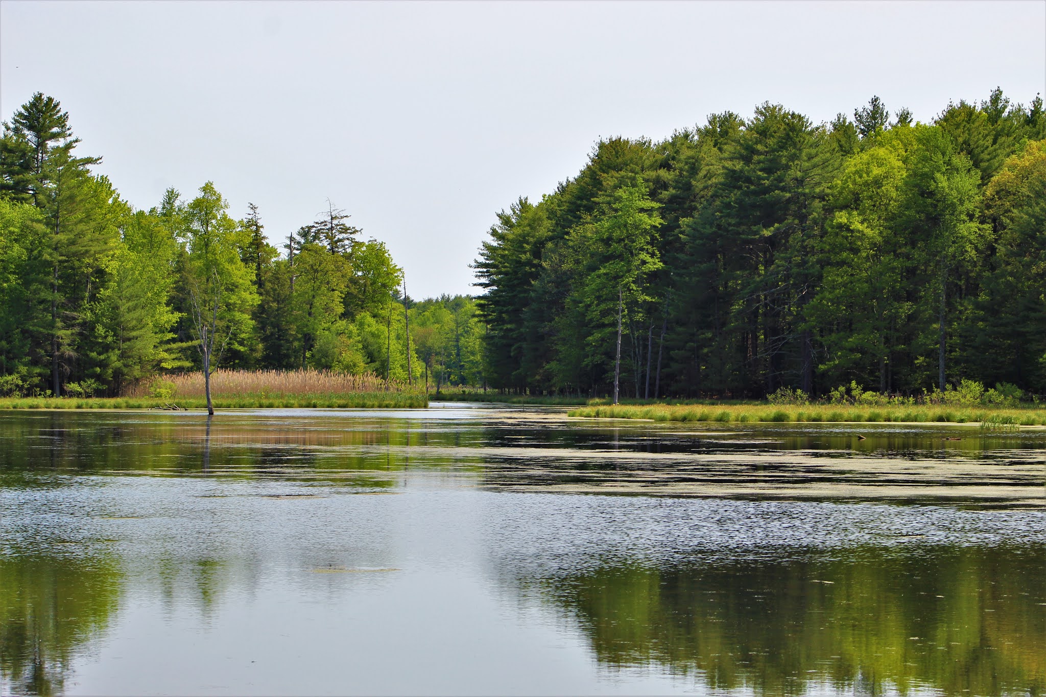
| This narrow passageway connects the north lobe of the shallow lake to an eastern lobe and a swampy area to the south. |


No comments:
Post a Comment