In late July I walked an eight-mile loop in northeastern Greenville, east of the hamlet of Newrys. This walk took me through some of the more rural areas of Greenville, characterized by open fields and forests. It also took me through the Greenviille Detached Forest Preserve, the only state-owned preserve in the town.
Roads walked: CR-26, CR-38, Hillcrest Road, Irving Road, Spring Valley Road, Cedar Lane
 |
Naturalized Queen Anne's lace (Daucus carota) filled the ditches along Route 26.
|
 |
A farm along Spring Valley Road, looking far more well-kept than most farms in the area.
|
 |
An early-blooming black-eyed Susan (Rudbeckia hirta) has already lost one of its petals.
|
 |
Decaying tree stumps in a swamp along Spring Valley Road. This swamp was surrounded by many birds, but they were too quick for me to get any good pictures of them.
|
 |
Open fields characterize much of the Spring Valley region south of the forest preserve.
|
 |
I followed herd paths around a small swamp in the forest preserve. Many of these yellow mushrooms, likely a species of chanterelle (possibly Cantharellus minor), grew along the forest floor.
|
 |
A view of the swamp in the forest preserve. The rest of the preserve is relatively flat forest; this is its only notable feature.
|
 |
A view of mixed forest on the west half of the preserve, which is bisected by Spring Valley Road.
|
 |
A view of an old farm on Cedar Lane, looking south from near the county line.
|
 |
Rolling hills along Route 38 most obscure the mountain views to the south.
|
 |
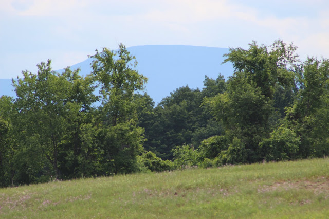
| Here, some distant trees flank Blackhead's distant dome. |
 |
A closer view of the old farm buildings.
|
 |
Beyond the silo and hole-riddled barn, a hill along West Road rises.
|
 |
North Mountain and Stoppel Point seem to mirror the tops of the nearer trees.
|
 |
| Large fields with more subtle elevation changes characterize Route 38 near central Newrys. |
 |
Flowering cattails filled the swamps along Irving Road.
|
 |
| Someone had planted a small flower garden along the side of Irving Road, including various colors of Mexican marigolds (Tagetes erecta). |
 |
| Dozens of black cows filled a sizable ranch along the south side of Route 26. |
 |
Hills and trees dot the extensive ranch; many pasture areas in New York include wooded areas to provide the animals shade.
|
 |
Flat terrain and mixed forest around Lake Wiltwyck along Route 26.
|


No comments:
Post a Comment