On the last leg of my mini-tour of New York, I hit Allegany State Park, the state's largest park, located near the Allegany Reservation in the southwest portion of the state. Allegany State Park has a wide variety of available activities, including hiking, boating, and fishing, along with a number of interesting natural and historical features. Although I didn't spend long in the park I did stop to see several of its attractions.
 |
| A view over the city of Salamanca and surrounding hills from an overlook on the way into the park. |
 |
Tall grasses partly obscure the view towards a ranch in Salamanca.
|
 |
The Stone Tower was built by the Civilian Conservation Corps during the Great Depression, and used as a lookout and fire tower for many years.
|
 |
Looking northeast from the tower's top, towards the Great Valley.
|
 |
A shot showing the top of the tower. Although it was recently fixed up, vandalism remains a serious problem.
|
 |
Survey marker near the tower.
|
 |
Trees and hills along Red House Lake, one of the park's most popular features.
|
 |
Although rising steeply, the Alleghenies don't quite appear worth of the label "mountains" here.
|
 |
| A footpath winds around the lake, passing over the dam at its northwestern end. A bridge on the far side of the dam is seen here. |
 |
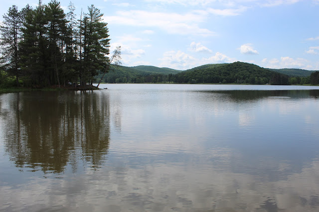
More hills and a pine-covered peninsula surround the southern portions of Red House Lake.
|
 |
The south entrance to the Thomas L. Kelly Covered Bridge, a wooden bridge on the Red House Brook, through which the footpath mentioned above goes.
|
 |
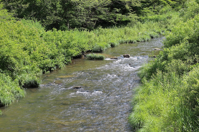
Bright green bushes line the Red House Creek as it approaches the covered bridge.
|
 |
A view of the full bridge seen from across the road.
|
 |
Low water levels made the usually spectacular Bridal Veil Falls fall short of incredible.
|
 |
During the spring and fall, water rushes down this rockface, covering it in white. In the heat of early summer it was reduced to a trickle flowing through some mossy stones.
|
 |
| Deep hemlock forest lines the Stoddard Creek below the Bridal Veil Falls. |
 |
The large U-shaped concrete spilloff on Quaker Lake is enough of an attraction to have its own overlook and a marker on Google Maps.
|
 |
| Fluffy clouds to the south belie the thunderstorm that started moments after this image was taken. |
 |
Having driven out of the thunderstorms, a series of rainbows along I-88 lit up the long drive home.
|


No comments:
Post a Comment