Late March I walked another roadside loop, following up the roads in northeast Durham I had yet to walk. The route mainly covered McCafferty Road, which I had walked a small portion of a few days prior. It also followed Marks Road, the remainder of Mackey Road (walked in my previous post), and a small portion of Albany County's CR-403. This was my first route to cross all the way into another county, dipping for nearly a mile over the border into Rensselaerville. Weather conditions were cool and windy, with intermittent clouds making photographing some scenes difficult.
 |
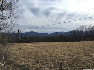
| View of the Catskills over a farm off Greene County's CR-27. Visible are North Mountain, Stoppel Point, Blackhead, Black Dome, Thomas Cole, and Windham HP. |
 |
| Despite forested and raised terrain, bits of the more westerly Catskills were visible from the route, like this partially obscured shot of Ginseng, Hayden, and Pisgah. |
 |
| View of the road south of the county line. |
 |
| This sizable lake doesn't appear on maps, and is lined with young pine forest. |
 |
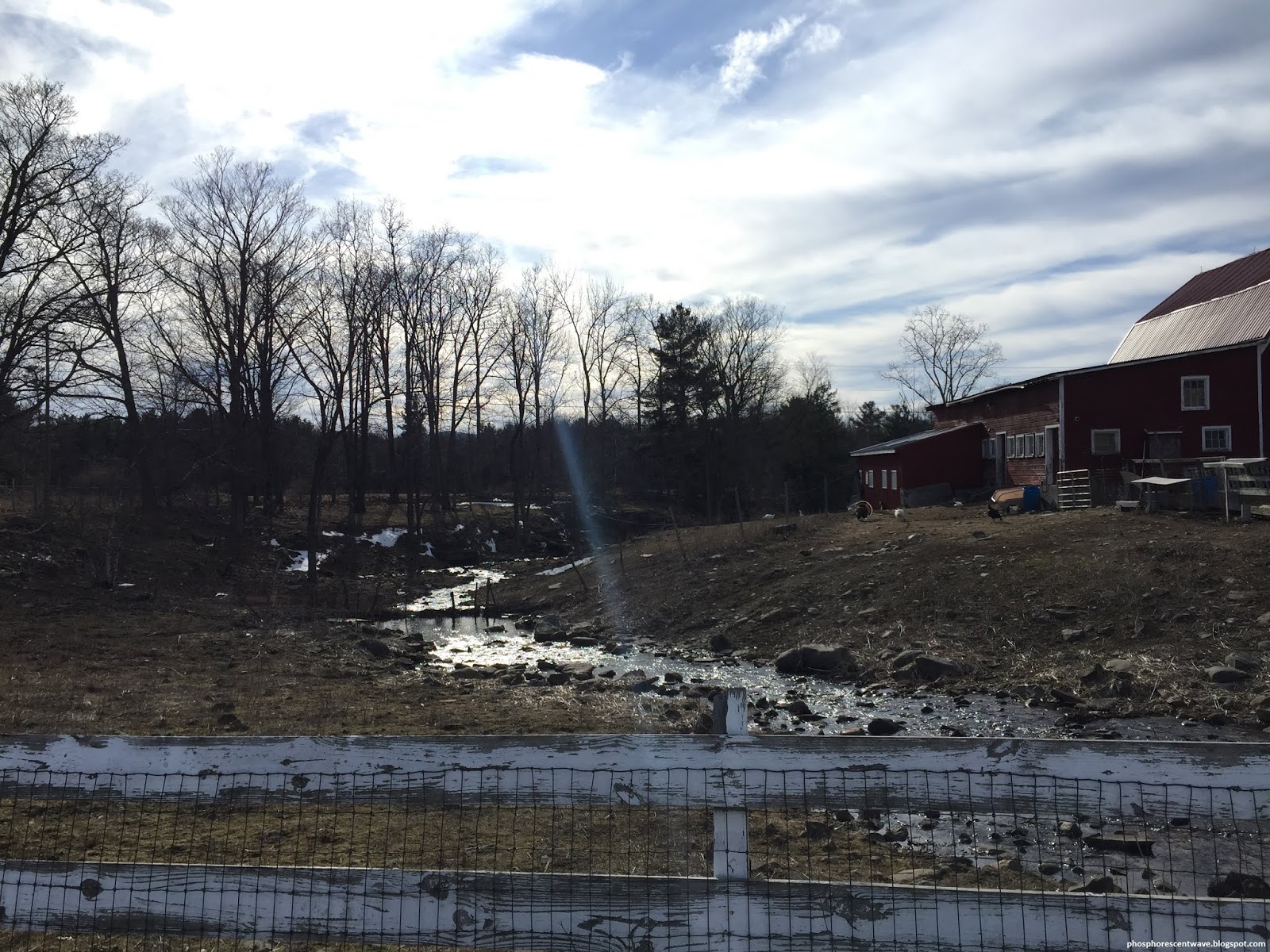
| A small stream cuts through the grazing area of a farm along Route 75. |
 |
| Sign marking the end of Albany County's CR-403 along a swamp at the county line, where it turns into CR-75. |
 |
| Brown fields and forests in Rensselaerville. |
 |
| Oblique shadows line the fresh pavement along CR-403. |
 |
| Another shot of the shiny road. |
 |
| A lone tree guards a massive empty field. |
 |
| Crossing back into Greene County along McCafferty Road, I found another, smaller lake absent from the maps, with several farm tails leading to its shores. |
 |
| A shot of the smaller lake from a bit higher elevation. |
 |
| Windham and the Blackhead Range peek above forests along McCafferty Road. |
 |
| Maple and pine trees line McCaffery Road as it descends towards the Catskill Valley. |
 |
| A shot of Windham, Kate, and Zoar from the east end of Mackey Road. |


No comments:
Post a Comment