
 |
| View of a farm, near where I parked. The colors in the eastern sky at sunset are often more beautiful than those to the west. |
 |
| Mount Hayden seen under evening clouds. |
 |
| Although focused on Windham and Zoar, this provides a good view of this strange little shed, half-embedded in the hillside. |
|
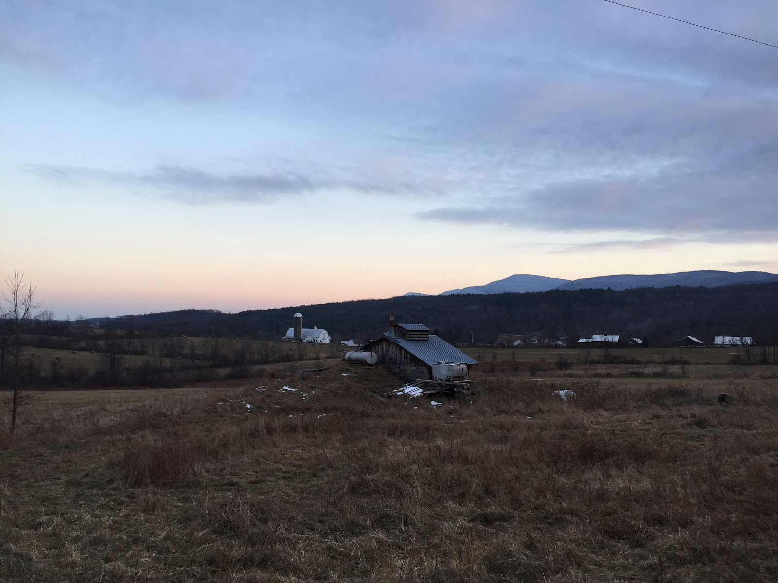
| Sunset in the southeastern sky over fields. Acra Point is the peak to the right. |
 |
| The view of the northern Escarpment, looking back from where Prink Hill intersects CR-20. |
 |
| From left to right: Acra Point, Burnt Knob, Windham High Peak, Mount Zoar, and Mount Ginseng. The eastern flank of Mount Hayden is visible at the far right. |
 |
| Looming over the evening fields, Pisgah stands alone (from this angle at least). |
 |
| Frozen fields of late autumn. |
No comments:
Post a Comment